Most Spiti Valley itineraries rush right past Attargo Bridge on the main highway, treating the detour into Pin Valley as an optional photo-op or skipping it entirely to push straight into Kaza. That is a massive mistake. Opening up the throttle into this high-altitude cold desert sanctuary reveals raw, unpaved shelf roads, vibrant green pea fields against red mudstone cliffs, and the quietest trails in the entire trans-Himalayan belt. If you are planning your adventure, this comprehensive pin valley to kaza rider guide covers every kilometre, water crossing, and logistical trap you need to know before turning off the main Spiti highway.
Quick Summary: Navigating the 50 km stretch between Mudh village in Pin Valley and Kaza takes roughly 2 to 2.5 hours on a motorcycle. The terrain transitions from 35 km of broken dirt, loose gravel, and glacial stream crossings to 15 km of sealed asphalt leading into Kaza. Pin Valley has zero fuel stations, no working ATMs, and a total mobile network blackout past Attargo Bridge. Complete your refuelling at Kaza’s Indian Oil pump before venturing into the valley.
Verified by MileMarked · Last verified: October 2026
Navigating Pin Valley to Kaza: A Rider's Guide to Spiti
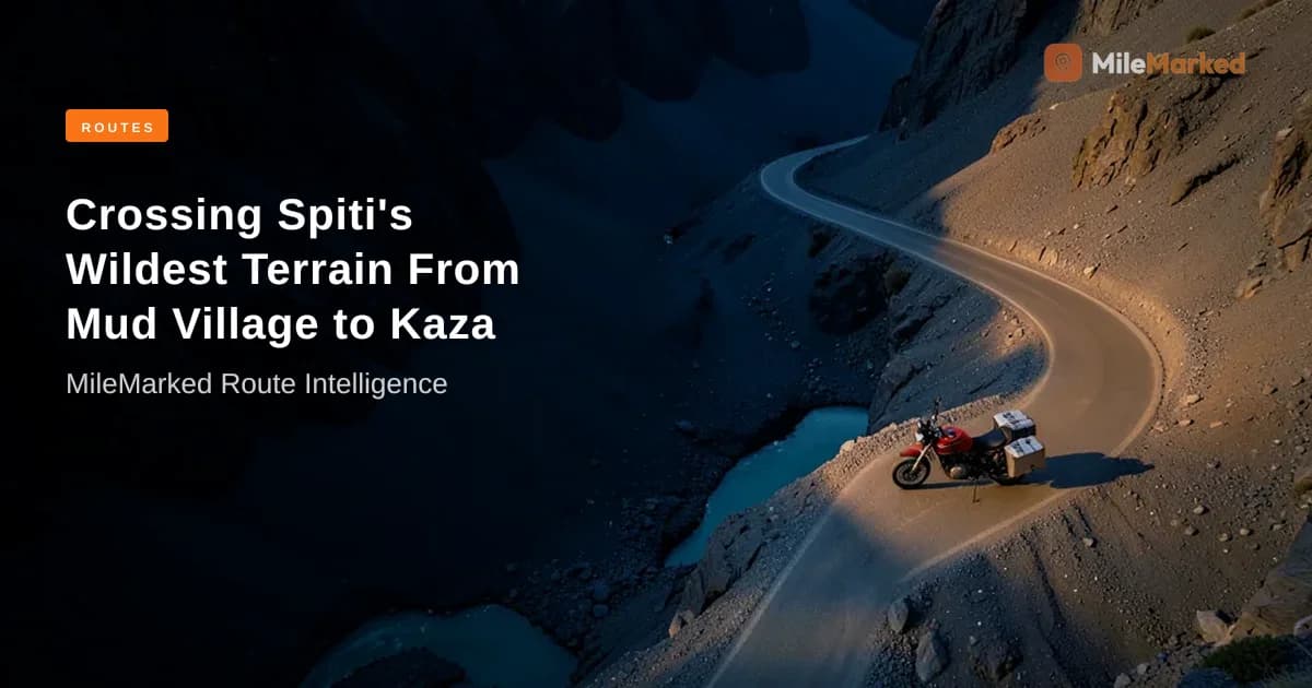
Dropping down from Mudh village at 3,800 metres back to Kaza at 3,650 metres is one of the most starkly beautiful dual-sport rides in Himachal Pradesh. While the mainline Spiti highway along the Spiti River gets progressively paved each year, the route through Pin Valley National Park remains wonderfully wild.
[Mudh Village (3,800m)] ──(35 km Broken Dirt/Gravel)──> [Attargo Bridge] ──(15 km Asphalt)──> [Kaza (3,650m)]
Riding out of Mudh in the crisp morning air presents a landscape unlike anywhere else in Spiti. Unlike the arid, bone-dry yellow limestone formations of Dhankar or Langza, Pin Valley is framed by dramatic pink-tinted mudstone peaks and lush riverbeds fed by the Pin River. But beauty comes with operational challenges. Between unbridged mountain streams that swell with glacial runoff after noon and loose scree falling onto narrow single-lane tracks, riding from Pin Valley to Kaza demands sharp focus, proper gear, and disciplined timing.
How Far Is Mudh Village from Kaza? Route & Distance Breakdown
The total Pin Valley to Kaza distance is precisely 50 km from the end of the dirt track at Mudh village to the central roundabout in Kaza. Under clear conditions, a steady rider will cover this in 2 to 2.5 hours. However, sudden landslides or deep water crossings near Mikkim can easily push your journey past 3 hours.
       Pin Valley Route Topology
       =========================
Altitude
 (m)
3800m | [Mudh]
      |   \
3600m |    \--(35 km Dirt Track)---> [Attargo Bridge]
      |                                   \--(15 km Asphalt)---> [Kaza]
3400m +-------------------------------------------------------------------> Distance (km)
      0km                            35km                      50km
Here is how the route breaks down section by section:
| Route Waypoint Segment | Distance (km) | Surface Type | Average Speed | Key Terrain Features & Highlights |
|---|---|---|---|---|
| Mudh to Sagnam | 12 km | Loose dirt, broken stone, sand | 15–20 km/h | Steep descent out of Mudh, narrow cliffside shelves, riverbed track |
| Sagnam to Gulling | 8 km | Patchy asphalt & crushed rock | 25–30 km/h | Crosses Kungri Monastery detour turnoff; wider valley floor |
| Gulling to Attargo Bridge | 15 km | Off-road dirt trail, river gravel | 20–25 km/h | Unbridged water streams, silt beds, confluence of Pin & Spiti rivers |
| Attargo Bridge to Kaza | 15 km | Smooth sealed asphalt | 50–60 km/h | Highway NH-5/Spiti main road, high-altitude sweeping tarmac |
The transition from off-road endurance to clean tarmac happens abruptly the moment your tires cross the iron girders of Attargo Bridge. Up until that point, you are riding on hardpack soil, shale, and river boulders.
📋 Complete Spiti Valley Circuit Planning Kit on MileMarked This route has a verified day-by-day itinerary, mapped fuel stops, hotel suggestions for every night, break points, and a downloadable packing checklist. Visit the Spiti Valley Circuit trip page on MileMarked to download the complete planning kit — it's everything you need before you leave home.
Road Conditions & Water Crossings: Attargo to Mudh Track
Checking the Mudh village to Kaza road conditions 2026 status before rolling out of your homestay is critical. The 35 km dirt link connecting Mudh to Attargo Bridge is a active geologically sensitive zone. Heavy summer snowfall melts on the upper ridges send slate scree rolling onto the track, while afternoon temperature spikes turn small streams into roaring torrents.
Glacial Melt Timeline at Attargo Stream Crossings:
--------------------------------------------------
07:00 AM - 10:00 AM  | Low Flow    | Ideal crossing window (Ankle deep)
10:00 AM - 01:00 PM  | Medium Flow | Caution required (Calf deep, moderate current)
01:00 PM - 05:00 PM  | Peak Flow   | High Risk (Knee deep, heavy silt & rolling rocks)
Navigating Glacial Nullahs (Stream Crossings)
The primary hazard on this stretch is unbridged tributary streams. The water volume in these streams is directly tied to ambient temperature.
- Morning (07:00 AM – 10:00 AM): Streams are shallow trickle-crossings. You can pick clean lines across the smooth river stones with minimal effort.
- Afternoon (12:00 PM – 04:00 PM): Direct sunlight accelerates snowmelt upstream. Streams expand to knee-deep torrents laden with muddy silt that hides baseball-sized rocks beneath the surface.
When tackling these water crossings on a loaded adventure touring motorcycle:
- Walk the crossing first if the water is murky or flowing fast.
- Select a low gear (1st gear for standard motorcycles, 2nd gear for high-torque dual-sports) and maintain steady throttle momentum.
- Never drag your clutch mid-stream; stalled engines in freezing silt water can lock up or pull sediment into the airbox.
Shelf Roads and Off-Road Handling
Is Pin Valley road suitable for hatchbacks and bikes? Yes, but with clear qualifications. High-ground-clearance adventure bikes (like the Royal Enfield Himalayan, Hero Xpulse 200 4V, or BMW G 310 GS) handle the river gravel and shelf roads with ease. Standard commuters or heavy road cruisers (like RE Classic 350s or street naked bikes) can complete the route, but riders must stand on the pegs through soft gravel sections near Gulling to prevent front-wheel tucks. Hatchbacks will scrape their underbodies on rock protrusions between Mikkim and Mudh; high-clearance 4x4s or SUVs are strongly recommended for four-wheel vehicles.
Fuel, ATMs, and Connectivity: Essential Pre-Ride Checklist
The absolute golden rule of riding in Pin Valley is self-sufficiency. Once you leave the main Spiti highway at Attargo, modern conveniences vanish completely.
       Pin Valley Resource Availability Map
       ====================================
[Kaza] ------------------------> [Attargo Bridge] ------------------------> [Mudh]
 - Full Petrol Pump (Indian Oil)  - Bridge Confluence               - ZERO Fuel
 - Working ATMs (SBI, HDFC)      - No Mobile Network Beyond        - ZERO ATMs
 - 4G/5G Coverage (Airtel/Jio)   - Dirt Track Begins               - NO Network (BSNL dead)
The Kaza Fuel Strategy
There is no Kaza fuel pump Spiti equivalent inside Pin Valley. Kaza houses the world's highest retail Indian Oil outlet, which serves as the sole commercial fuel source for the entire sub-division.
- Tank Capacity Warning: A standard 12-litre to 15-litre fuel tank filled to the brim at Kaza is sufficient to cover the 100 km round-trip into Pin Valley and back.
- Spare Fuel: If you plan on exploring secondary tracks toward Bhabha Pass trailhead or taking extended detours to Kungri Monastery, carry a 5-litre metal jerrycan filled from Kaza. Do not buy unverified black-market petrol in plastic bottles from small dhabas in Sagnam unless it is an absolute emergency; it is often contaminated with kerosene or condensation water.
Cash and Connectivity Blackout
Digital wallets, UPI payments, and credit cards are non-functional throughout Pin Valley due to zero cellular signal. Airtel and Jio signals fade out completely within 2 km of passing Attargo Bridge Spiti. BSNL occasionally catches a signal tower near Sagnam, but Mudh village is entirely off the grid.
- Cash Requirement: Carry a minimum of ₹3,000 to ₹5,000 in physical cash per person to cover homestay fees, food, park entries, and emergency trail assistance.
- ATM Backup: Withdraw hard cash at the State Bank of India or HDFC ATMs in Kaza before riding toward Attargo. These ATMs frequently run dry during peak summer touring months (June–July), so plan ahead.
Pin Valley National Park Permits and Entry Fees in 2026
Riders often get confused about Pin Valley National Park permits and where non-motorable restricted boundaries begin.
Pin Valley Zoning Structure:
============================
[Attargo Bridge] ----> [Gulling / Sagnam] ----> [Mudh Village] || [Core Park Zone]
(Public Highway)       (Buffer Zone)            (Trailhead)   || (Foot-trek only / Permit)
Buffer Zone vs Core Zone Access
- Motorable Buffer Zone (No Permit Required): You do NOT need a special permit or Inner Line Permit (ILP) to ride your bike along the public dirt road from Attargo Bridge through Sagnam and up to Mudh village. Indian citizens and foreign nationals carrying valid identification can access Mudh freely.
- Core Wilderness Zone (Permit Required): The actual core protected area of Pin Valley National Park begins beyond the footbridge at Mikkim and the upper hiking trails south of Mudh. This core zone is home to endangered snow leopards, Himalayan ibex, and Siberian ibex. Entering the core zone on foot for multi-day trekking (such as the Pin Parvati Pass or Pin Bhabha Pass routes) requires explicit registration with the Forest Department post at Kaza or the Range Forest Office at Sagnam.
2026 Forest Department Fee Structure
| Fee Category | Indian Nationals (INR) | Foreign Nationals (INR) | Applicability |
|---|---|---|---|
| Buffer Zone Transit (Motorcycle/Vehicle) | Nil | Nil | Standard road riding up to Mudh village |
| Core National Park Entry Fee (Per Person) | ₹100 / day | ₹500 / day | Required only for trekking past Mudh / Mikkim |
| Still Camera Permit (Core Zone) | ₹50 | ₹200 | For commercial/professional photography gear |
| Environment / Local Development Tax | ₹200 per vehicle | ₹200 per vehicle | Collected at select Green Checkposts in Kaza sub-division |
Note: Always keep your original Aadhaar card, Passport, or Driver's License accessible in your tank bag for spot inspection at Sagnam.
Budget Breakdown: Homestays, Food, and Transport Costs (INR)
Planning a realistic Pin Valley motorcycle route cost breakdown ensures you aren't caught short on cash in off-grid zones. Pin Valley offers authentic, cozy homestays run by local Spitial families that are significantly cheaper than commercial hotels in main town Kaza.
Daily Expenditure Distribution (Per Rider in Pin Valley)
========================================================
[Homestay + Food]  ████████████████████ 60% (₹1,200)
[Fuel Allocation]  ██████████           30% (₹400)
[Snacks & Tea]     ███                  10% (₹200)
Mudh Village Homestays vs Kaza Accommodation
Staying overnight in Mudh is an incredible experience. The Mudh village homestays (such as Tara Homestay, Pin Parvati Homestay, or Ibex Homestay) provide clean rooms with thick traditional blankets, hot water buckets, and homemade Tibetan-Spitial meals.
| Expense Item | Pin Valley (Mudh / Sagnam) | Kaza Town | Practical Rider Notes |
|---|---|---|---|
| Homestay / Room (per person/night) | ₹800 – ₹1,500 | ₹1,500 – ₹3,500 | Mudh rates typically include homemade dinner & breakfast |
| Local Meal (Thukpa / Momos / Dal Rice) | ₹150 – ₹250 | ₹250 – ₹450 | Simple, high-calorie food perfect for cold riding days |
| Fuel Budget (50 km run + local loops) | ₹350 – ₹450 | ₹350 – ₹450 | Calculated at ~₹100/L for 35–40 km/l bike efficiency |
| Tea / Energy Snacks Stop | ₹30 – ₹50 | ₹50 – ₹100 | Seabuckthorn tea and butter tea are local favorites |
| Total Daily Operational Budget | ₹1,330 – ₹2,250 | ₹2,150 – ₹4,500 | Riding Pin Valley saves ~35% compared to staying in Kaza |
Pro Tip: In Mudh, hot shower water is often heated using solar boilers or firewood stoves. Ask your homestay host to prep hot bucket water by 7:00 AM if you intend to hit the road early toward Kaza.
Opinion: Why You Should Never Rush Attargo Bridge
I've ridden the Spiti circuit multiple times on standard road bikes and dual-sport adventure setups. My direct advice: Do not skip an overnight stay in Mudh.
Most tour operators push riders to visit Pin Valley as a rapid 3-hour side trip out of Kaza—riding down to Mudh, taking a quick photo, and racing back. That is the absolute worst way to experience this valley. When you rush this route, you ride right through the worst afternoon water crossings near Mikkim, fight high wind gusts in the riverbed, and miss the serene silence when the daytime tourist cars leave at 3:00 PM.
Ride in from Kaza or Dhankar during the late afternoon, sleep at Mudh, enjoy a bowl of hot Seabuckthorn soup under zero-light-pollution star skies, and take the how to ride from Pin Valley to Kaza on bike return leg early the next morning. That way, you hit the unbridged dirt tracks when water levels are at their lowest and the morning sun illuminates the valley walls in deep shades of magenta and rust.
📋 Complete Spiti Valley Circuit Planning Kit on MileMarked This route has a verified day-by-day itinerary, mapped fuel stops, hotel suggestions for every night, break points, and a downloadable packing checklist. Visit the Spiti Valley Circuit trip page on MileMarked to download the complete planning kit — it's everything you need before you leave home.
Ready to ride the Spiti Valley Circuit? Don't leave home without the complete MileMarked planning kit — verified fuel stops, hotel recommendations, break points, and a packing checklist built specifically for this route. Riders who plan with MileMarked data ride smarter and worry less. Visit the Spiti Valley Circuit trip page to download it now.
About the Author
Parth Kapoor is the founder of MileMarked and has been riding motorcycles across India since 2019. He has personally verified routes from Ladakh to Tamil Nadu, logging over 40,000 km on Indian highways and mountain passes. Parth built MileMarked after getting lost on the Spiti circuit with an outdated itinerary — his mission is to make sure no rider makes the same mistake.
Frequently Asked Questions About Riding Between Kaza and Pin Valley
How far is Mudh village from Kaza?
Mudh village is exactly 50 km from Kaza via the Attargo Bridge turnoff. The ride takes approximately 2 to 2.5 hours on a motorcycle depending on stream crossing depths and dirt track conditions.
Is there a petrol pump in Pin Valley?
No, there are no petrol pumps or fuel stations inside Pin Valley. The closest functional fuel station is the Indian Oil outlet located in Kaza town, 50 km away. Make sure to top off your tank completely in Kaza before taking the turn into Pin Valley.
Do you need permits for Pin Valley National Park?
You do not need a permit to ride along the main public motorable road to Mudh village. However, if you intend to cross the river footbridges and trek into the core protected wilderness zones of Pin Valley National Park, you must pay a park entry fee (₹100 for Indians, ₹500 for foreign nationals) to the Forest Department.
Is the road from Pin Valley to Kaza suitable for beginner riders?
The 35 km stretch between Mudh and Attargo Bridge consists of unpaved dirt, loose scree, and unbridged water streams. Intermediate riders will find it enjoyable, but absolute beginners should exercise extreme caution, ride slowly, and execute water crossings early in the morning when flow levels are low.
Is mobile network available in Mudh village?
No, there is a total mobile network blackout in Mudh village. Airtel and Jio signals disconnect shortly after crossing Attargo Bridge. BSNL occasionally works near Sagnam village, but you should inform family members of a 24-to-48-hour communication blackout while exploring Pin Valley.
Can you do Pin Valley as a day trip from Kaza?
Yes, you can do Pin Valley as a 100 km round-trip day ride from Kaza. However, starting early (by 8:00 AM) is vital to avoid high glacial melt water flow on the dirt streams during your afternoon return leg.