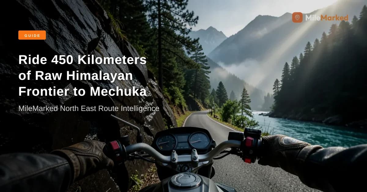
Most travel blogs tell you that Mechuka is the "Mini Switzerland of Arunachal Pradesh," painting a picture of pristine pine forests and emerald meadows without warning you about the reality of the ride. What they won't tell you is that a single unexpected construction roadblock near Pene can leave you stranded on a mountain ledge for three hours with zero cell signal and a rapidly emptying fuel reserve. If you are planning a jorhat to mechuka motorcycle guide for 2026, you need more than pretty postcard prose—you need exact kilometer marks, accurate eILP rules, and real-world BRO road updates.
When I first planned this route, I spent days piecing together fragmented forums, outdated YouTube vlogs, and confusing state portal guidelines. That friction is exactly why MileMarked exists. This comprehensive guide breaks down the 501 km journey from the plains of Assam into the high-altitude valleys of West Siang and Shi-Yomi, equipping you with the precise logistics required to ride safely.
Quick Summary:
- Total Route Distance: 501 km split into a demanding 2-day itinerary from Jorhat to Mechuka via NH-13.
- Mandatory Permits: Arunachal Pradesh eILP v3.0 is compulsory for all Indian nationals, costing approximately INR 100 per district.
- Critical Fuel Warning: Aalo is your absolute last reliable fuel station; carry extra fuel canisters for the 185 km mountain leg to Mechuka.
- Terrain Challenges: Expect broken asphalt, unpaved river crossings, and scheduled BRO blasting windows along the Pene-Tato widening zone.
- Altitude Gain: You will climb from Jorhat's baseline of ~90 meters to Mechuka's chilling altitude of 1,829 meters (6,000 feet).
Verified by MileMarked · Last verified: October 2026
Jorhat to Mechuka Motorcycle Route Overview & Key Statistics (2026)
The jorhat to mechuka distance by road spans exactly 501 km, taking you across the mighty Brahmaputra River, through the tropical foothills of Likabali, up into the administrative hub of Aalo, and deep into the remote gorges of the Shi-Yomi district. This is not a casual weekend spin; it is an intermediate-to-advanced Himalayan expedition that tests your clutch control, machine maintenance, and endurance.
To help you visualize the vertical and geographical shift, here is the structural breakdown of the route profile:
| Route Leg | Distance | Estimated Riding Time | Elevation Profile | Primary Terrain Type |
|---|---|---|---|---|
| Jorhat to Aalo | 315 km | 8 to 9 Hours | ~90m to ~190m | Smooth highway transitioning to broken tarmac |
| Aalo to Mechuka | 185 km | 7 to 10 Hours | ~190m to 1,829m | Slush, loose gravel, mud, and narrow mountain cuts |
| Total Route | 501 km | 2 Days Minimum | 90m to 1,829m | Mixed Highway, Off-Road, and BRO Construction Zones |
Starting from the tea-capital of Assam at Jorhat, your journey begins with a fast cruise toward the engineering marvel of the Bogibeel Bridge. Crossing the 4.9 km rail-cum-road bridge over the Brahmaputra brings you into Dhemaji, from where you transition toward the Likabali checkpost. This is where your paperwork is scrutinized before you officially enter Arunachal Pradesh. From Likabali, NH-13 snakes upward toward Aalo, where you will crash for the night before tackling the brutal mountain section toward Tato and Mechuka the following morning.
📋 Complete Jorhat to Mechuka Bike Trip Planning Kit on MileMarked This route has a verified day-by-day itinerary, 4 mapped fuel stops, hotel suggestions for every night, break points, and a downloadable packing checklist. Visit the Jorhat to Mechuka Bike Trip trip page on MileMarked to download the complete planning kit — it's everything you need before you leave home.
Required Permits: How to Secure Your Arunachal Pradesh eILP in 2026
You cannot cross the border into Arunachal Pradesh without valid paperwork, and attempting to wing it at the Likabali checkpost will result in an immediate turn-around. The Inner Line Permit system has transitioned fully to the eILP v3.0 portal, streamlining approvals but introducing strict digital verification standards that catch many riders off guard.
When applying for your Arunachal Pradesh eILP permit online fee structure, expect to pay INR 100 per district for standard tourist access. Because you are traveling through multiple districts—passing through parts of Lower Siang/East Siang approaches, West Siang (Aalo), and entering Shi-Yomi (Mechuka)—your permit must explicitly list all these circuit areas.
Follow these exact steps to secure your digital pass without rejections:
- Visit the official Arunachal eILP portal at least 5 to 7 days before your Jorhat departure date.
- Select the Tourist category and input your exact travel dates, ensuring a buffer day for weather delays.
- Upload scanned identity proofs (Aadhar card, Voter ID, or Passport). Ensure document sizes are strictly compressed between 20KB and 200KB in JPG or PDF format.
- Upload a clean, passport-sized photograph sized between 20KB and 50KB. Blurry images or helmet-clad profile photos trigger automated rejections.
- Pay the district fees online and save the generated PDF pass with a unique QR code on your smartphone offline. Print two physical copies as well; checkpost officers will stamp them manually.
Day 1: Jorhat to Aalo (315 km | 8–9 Hours)
Your first day on the saddle is a test of sustained highway endurance mixed with chaotic semi-urban traffic across Assam. Set your alarm early; I recommend rolling out of Jorhat by 6:00 AM sharp to beat the heavy commercial truck congestion heading toward the industrial corridors. Top off your tank at the reliable Indian Oil station near the Jorhat Bypass before heading north.
You will cover the initial 45 km relatively quickly, leading you to the magnificent Bogibeel Bridge. Cruising across this nearly 5-kilometer-long bridge is an incredible experience, offering sweeping views of the braided channels of the Brahmaputra River. Once across, navigate through Dhemaji and Silapathar toward the Likabali checkpost located around the 140 km mark. Keep your printed eILP and original government ID ready in your tank bag for swift verification.
Once inside West Siang, the road undulates through lush tropical canopies and river valleys. The tarmac quality varies wildly—you will encounter stretches of smooth newly laid asphalt followed abruptly by bone-jarring potholes carved out by heavy monsoon runoffs. Arriving in Aalo by late afternoon gives you just enough daylight to inspect your bike, lube your chain, and rest your wrists before the real mountain test tomorrow.
Day 2: Aalo to Mechuka via Pene & Tato (185 km | 7–10 Hours)
If Day 1 was about distance, Day 2 is about raw survival and technical riding. The 185 km stretch from Aalo to Mechuka via Pene and Tato is notorious for its challenging terrain. You will navigate relentless hairpin bends, loose river shingle, and steep inclines hugging the roaring Siyom River gorge.
The Border Roads Organisation (BRO) under Project Brahmank has been executing aggressive double-laning work along this corridor. Specifically, the 32 km Pene-Tato stretch undergoes scheduled blasting and widening operations. You must time your departure from Aalo to match local traffic clearance windows. If you miss the morning window, you could easily lose half a day waiting on a dusty mountain shelf behind earth-movers.
Stop at the Kaying Army Cafe around the 60 km mark for a steaming cup of tea and a mandatory engine cool-down. Later, as you push past Tato, keep an eye out for the majestic Siko Dido Waterfall plunging right beside the road—it serves as a stunning waypoint marking your entry into the upper reaches of Shi-Yomi district. Maintain conservative speeds, watch for sudden rockfalls, and respect the mountain.
📋 Complete Jorhat to Mechuka Bike Trip Planning Kit on MileMarked This route has a verified day-by-day itinerary, 4 mapped fuel stops, hotel suggestions for every night, break points, and a downloadable packing checklist. Visit the Jorhat to Mechuka Bike Trip trip page on MileMarked to download the complete planning kit — it's everything you need before you leave home.
Essential Mechuka Valley Sightseeing for Bikers
Rolling into Mechuka valley after hours of battling slush and gravel feels like stepping into another dimension. The valley opens up into a vast, flat, pine-fringed bowl flanked by snow-capped Himalayan peaks, with the crystal-clear Yargyap Chu river weaving through the center. Once you check into your homestay, give your motorcycle a well-earned rest and explore these critical cultural and scenic landmarks:
- Samten Yongcha Monastery: Perched on a hill overlooking the entire valley, this 400-year-old Mahayana Buddhist monastery is one of the oldest in Arunachal Pradesh. Climbing the final stone steps on stiff riding boots is entirely worth the panoramic view.
- Gurudwara Nanak Taposthan: A deeply revered historical site commemorating Guru Nanak Dev Ji's travels through the region, located in a serene forest setting.
- Dorjeeling Village & Hanging Bridges: Explore the traditional Ramo and Liromoba Adi tribal wooden houses and cross the thrilling bamboo suspension bridges swaying over the Siyom River.
- Hanuman Point & Nature Trails: A striking natural rock formation resembling Lord Hanuman, offering a brilliant vantage point for sunset photography across the valley floor.
What are the Current Road & Border Conditions for Mechuka Bikers?
Navigating Arunachal's shifting topography requires constant vigilance regarding weather patterns and infrastructure updates. Recent connectivity upgrades have dramatically improved access, but mountain routes remain fragile. The vital Hoj-Potin section on alternative approaches has reopened for light vehicles and motorcycles, easing regional transit. However, local weather events can trigger sudden landslides without warning.
When planning your ride, pay close attention to daily construction schedules. The BRO imposes strict daytime closure gates along the Pene to Tato widening corridor to allow heavy machinery to clear debris safely. Always check in with local police checkposts or your Aalo homestay host regarding the active opening hours before setting off. If you encounter unexpected rain, pull over immediately; the local clay-heavy soil turns into slick, unrideable grease within minutes, making front-wheel washouts a serious hazard for two-wheelers.
Fuel Logistics, Accommodation, and Packing Checklist
Running out of fuel in the middle of Shi-Yomi district is a logistical nightmare that will ruin an expedition. Aalo is your definitive last chance to fill your main tank and any auxiliary jerry cans or bottles you are carrying. There are no commercial petrol bunks operating reliably between Aalo and Mechuka town, though local grocery shops occasionally sell bottled petrol at inflated black-market rates—quality is never guaranteed, and contaminated fuel will ruin your fuel injectors or carburetor.
For accommodation, skip the guesswork and lock in verified properties ahead of time. In Aalo, Reyi Homestay offers safe indoor parking and local hospitality. In Mechuka, Gayboo's Traditional Homestay or Mountain Homestay provide warm beds, local cuisine, and secure courtyard spaces to keep your motorcycle out of the frosty night air.
Packing for this altitude requires disciplined layering. Temperatures in Mechuka can plunge below zero during autumn and winter nights, even if daytime riding feels pleasant. Pack Gore-Tex waterproof outer shells, thermal inner baselayers, pinlock-equipped helmet visors, heavy-duty waterproof gloves, and a robust puncture repair kit paired with a 12V portable mini compressor.
About the Author
Parth Kapoor is the founder of MileMarked and has been riding motorcycles across India since 2019. He has personally verified routes from Ladakh to Tamil Nadu, logging over 40,000 km on Indian highways and mountain passes. Parth built MileMarked after getting lost on the Spiti circuit with an outdated itinerary — his mission is to make sure no rider makes the same mistake.
Frequently Asked Questions
What is the total road distance from Jorhat to Mechuka by motorcycle?
The total road distance from Jorhat to Mechuka is 501 km via NH-13, broken down into a 315 km ride on Day 1 from Jorhat to Aalo, and a 185 km technical ride on Day 2 from Aalo to Mechuka.
How to get eILP online for Mechuka bike trip in 2026?
You can secure your Inner Line Permit by visiting the official Arunachal Pradesh eILP v3.0 portal online, selecting the tourist category, paying the district-wise fee of approximately INR 100 per district, and uploading your ID proof and photo.
Is Aalo to Mechuka road open for two wheelers?
Yes, the road is open for motorcycles, but riders must navigate rough unpaved sections, river crossings, and scheduled construction roadblocks managed by the Border Roads Organisation along the Pene-Tato stretch.
Where to refuel bike between Aalo and Mechuka?
Aalo is your final reliable commercial fuel station. There are no dependable petrol pumps between Aalo and Mechuka, making it essential to top off your tank and carry auxiliary fuel canisters before departure.
Ready to ride Jorhat to Mechuka? Don't leave home without the complete MileMarked planning kit — verified fuel stops, hotel recommendations, break points, and a packing checklist built specifically for this route. Riders who plan with MileMarked data ride smarter and worry less. Visit the Jorhat to Mechuka Bike Trip trip page to download it now.